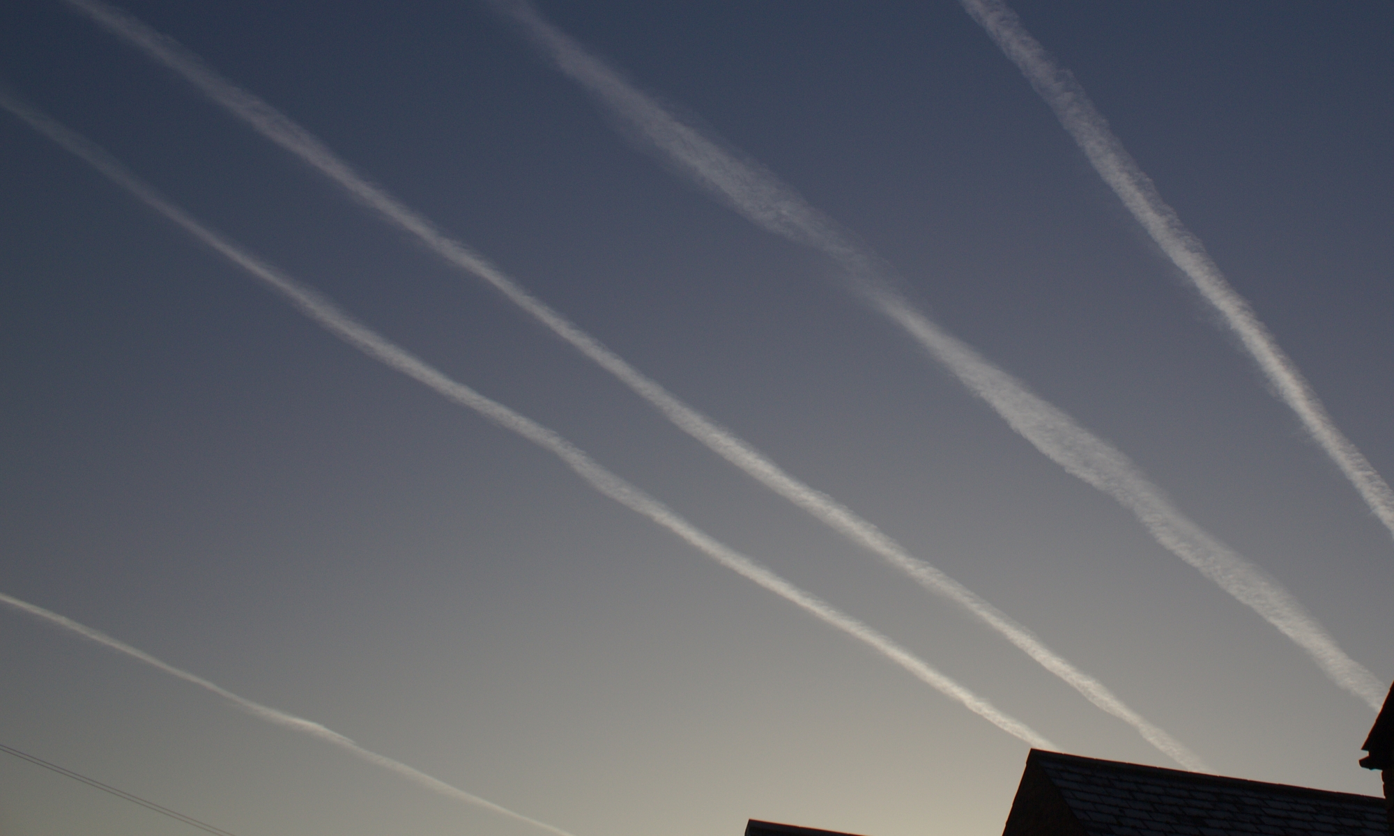
Selection of images from Dundee Satellite Receiving Station that show contrails turning into cloud and in some places seems to me large heavy cloud formations caused by falling contrail particulates. These have a very straight line overall theme.
One thing not obvious from the satellite images is the altitude of the clouds vs the altitude of the contrails. The contrails I think are much higher altitude than the clouds, based on my observations that when rarely the clouds clear in England you can then see the contrails/chemtrails/pollution-trails against the blue sky.
I think image 1761 shows what I mean, the cloud below could easily be (and seems to me likely to be) caused by the constant contrails on that atlantic route and would mask the evolution of the contrails above. As for image 1761 I guess if you were “sherlock” you might ask… “how come those contrails do not exceed the area of the low masking-cover cloud below”?
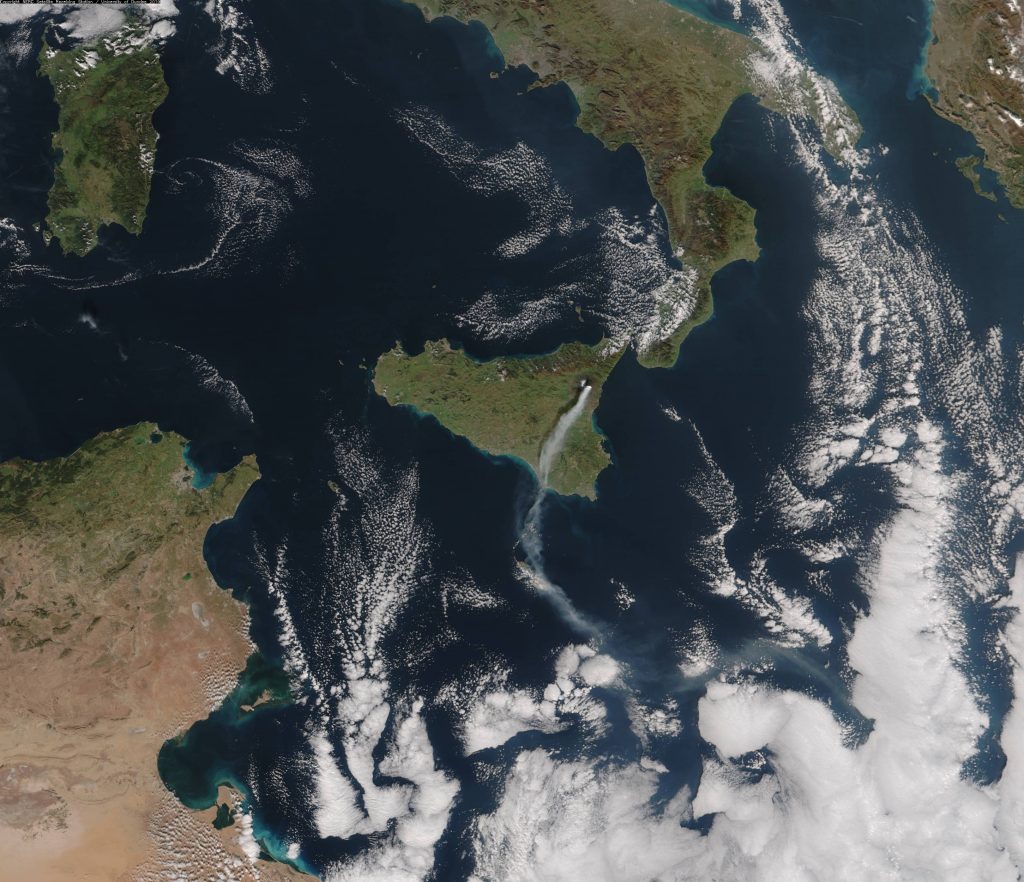
etna cloud plume 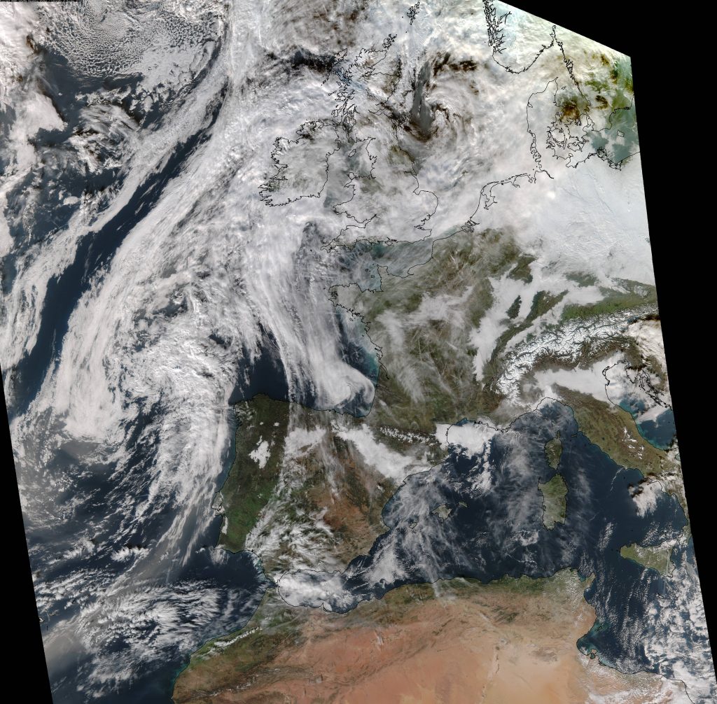
contrails europe africa dec 2018 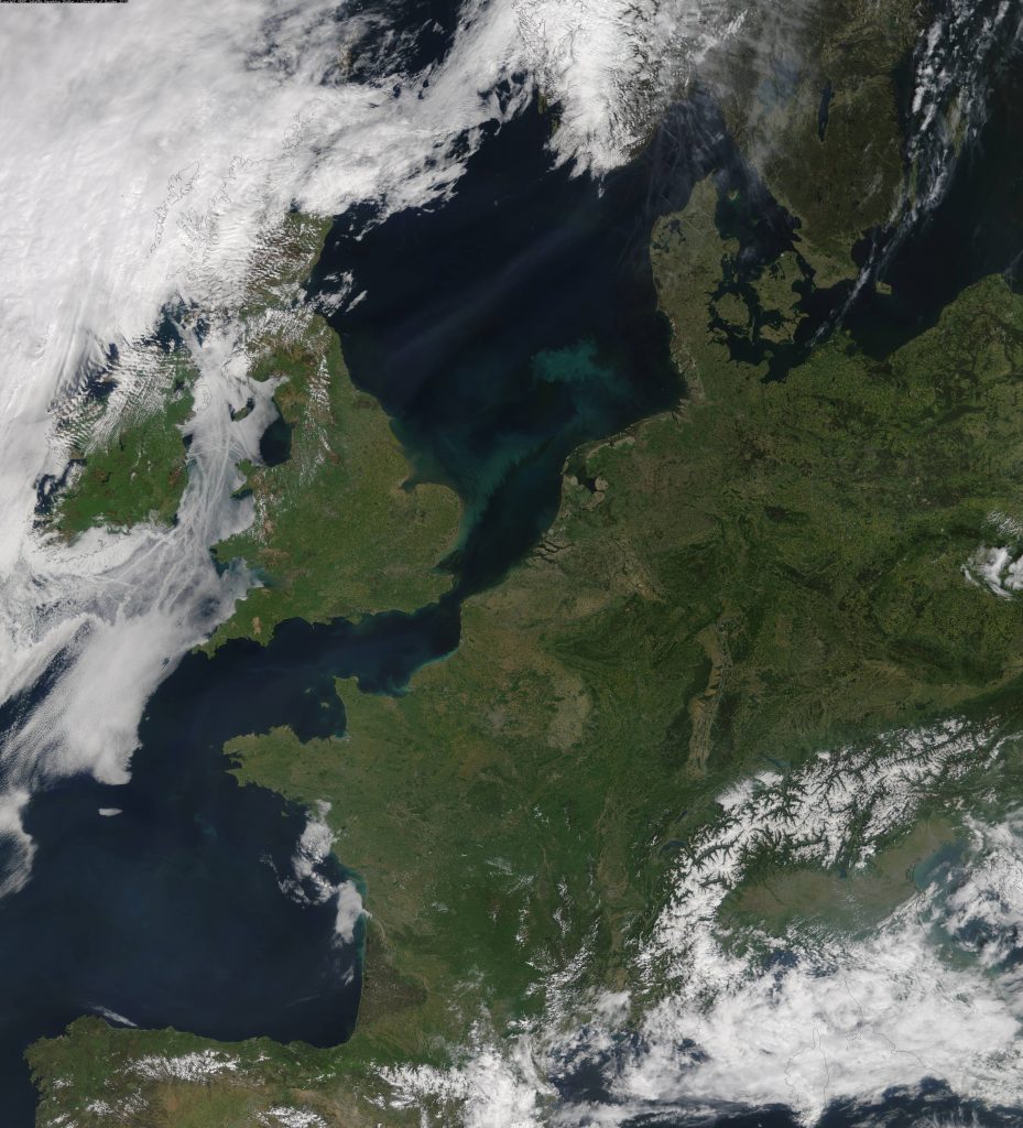
ship contrails england ireland 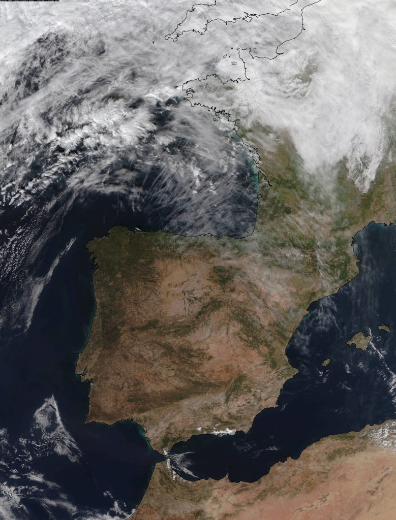
contrails bayofbiscay 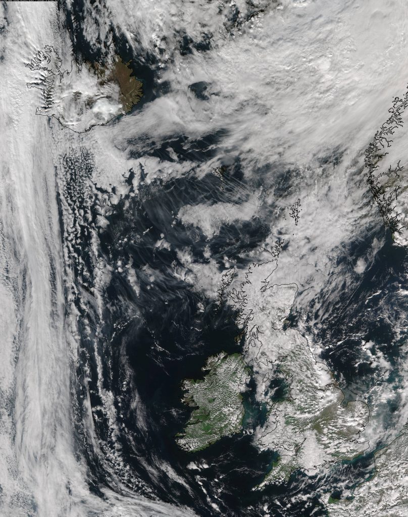
contrails england iceland 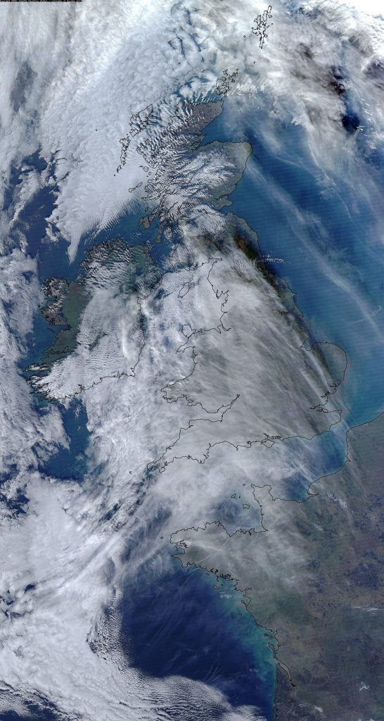
2119 Aircraft contrails over the UK and France – 27th Dec 2016 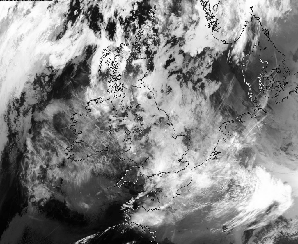
2113 Western Europe, aircraft contrails – 18th Dec 2016 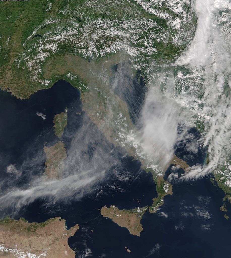
2198 Racetrack contrails over the Barents Sea – 7th Sep 2017 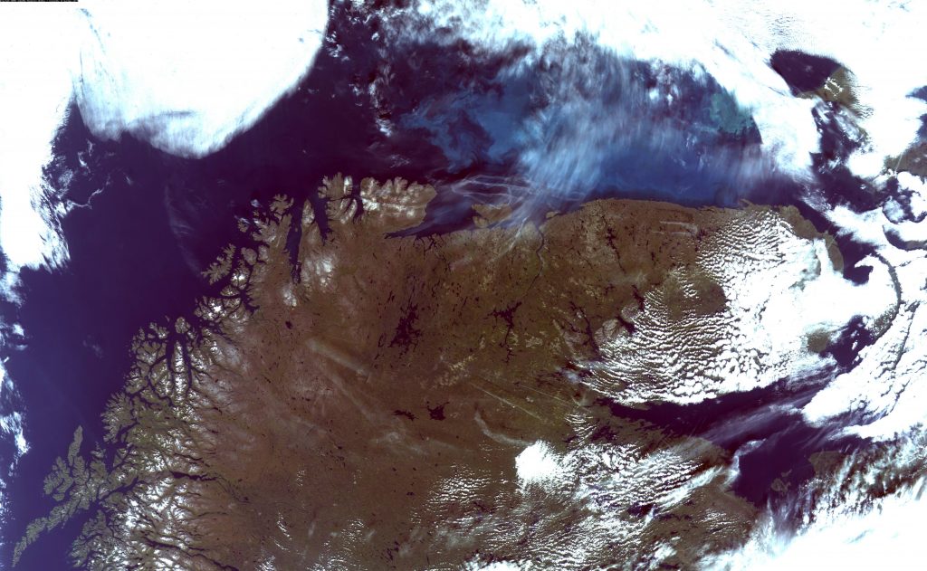
Racetrack contrails over the Barents Sea – 7th Sep 2017 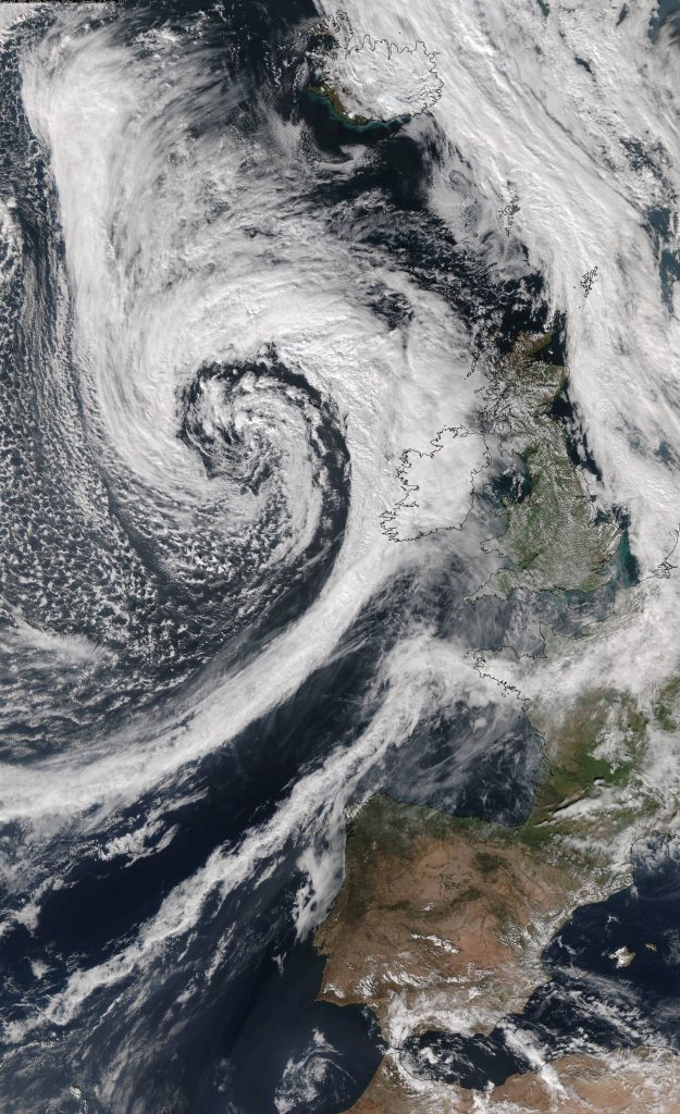
low pressure off england and loads of chemtrails 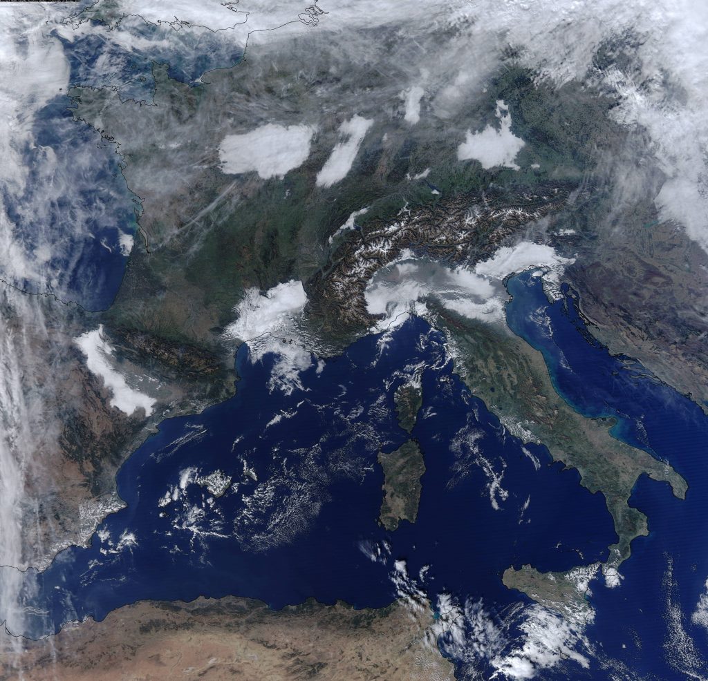
2091 Aircraft contrails and fog cover – 1st Nov 2016 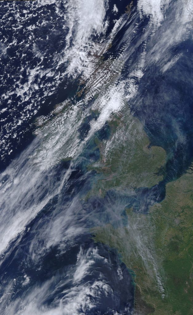
1988 British Isles and France, aircraft contrails – 5th May 2016 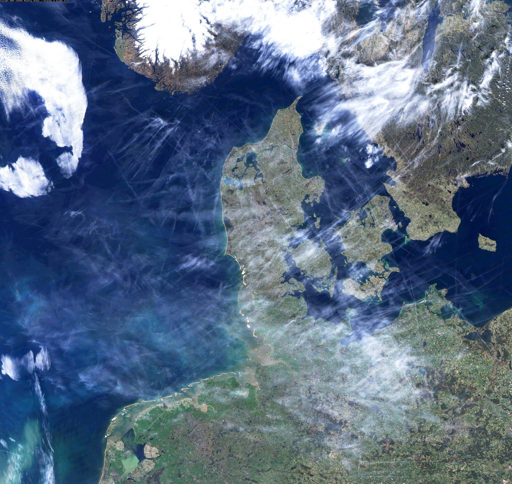
1796 Southern Scandinavia and Western Europe, aircraft contrails – 20th Apr 2015 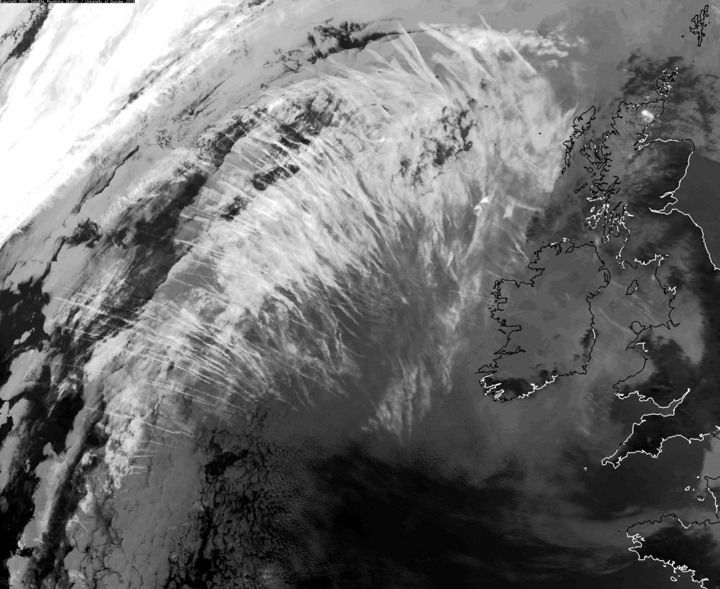
1761 Aircraft contrails west of the UK and Ireland – 9th Feb 2015 
1737 British Isles and France, aircraft contrails – 4th Jan 2015 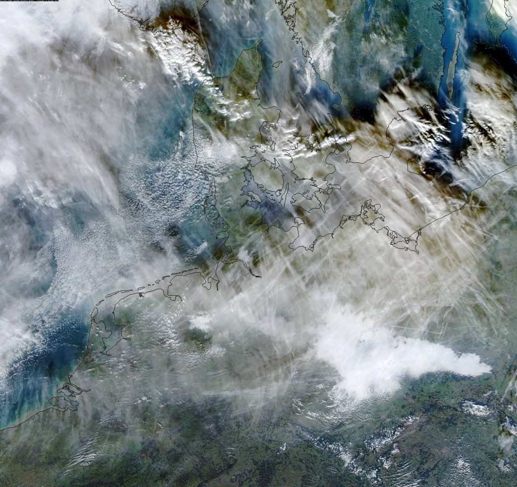
1593 Aircraft contrails over Europe – 2nd Dec 2013 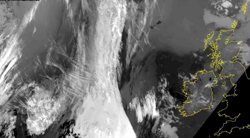
1524 Aircraft contrails over the Atlantic Ocean – 7th Jun 2013